
Climbing Pen Y Fan in the Brecon Beacons
Living in Birmingham means that if you are after a decent, ascending/descending hike, you have limited options within close proximity. There are some nice 'hills' not too far afield; Lickey and Clent are within a half hour, the Malverns about an hour away. Shropshire hills are pushing an hour and a half.
But I'm talking about hiking a mountain. The Malvern's highest point is 425m and, whilst lovely, does not pose much of a challenge. So, if you want to hike up and down a mountain and return to Brum in a day, I would suggest making your way to the Brecon Beacons in Wales.
The journey there takes just over 2 hours, so naturally we set off at about 10am. (I would suggest going much earlier and getting more out of your day in the Beacons, but we just enjoy a sleep in too much). The road to Brecon itself is quite easy going- we went via the M5 and M50 which means crossing through the picturesque Wye Valley. I always enjoy when the road signs change to a mix of English and Welsh and the abundant use of the letter 'y'.
We chose to stop in at Brecon to get some packed lunch to put in the backpack. Having been there before, we didn't look around too much. There are some old buildings and museums etc perched on the banks of the River Usk if you are into that kind of thing. It would be a great place to stay over if you aren't planning on returning home in a day- it's the cross roads to the main areas of the National Park.

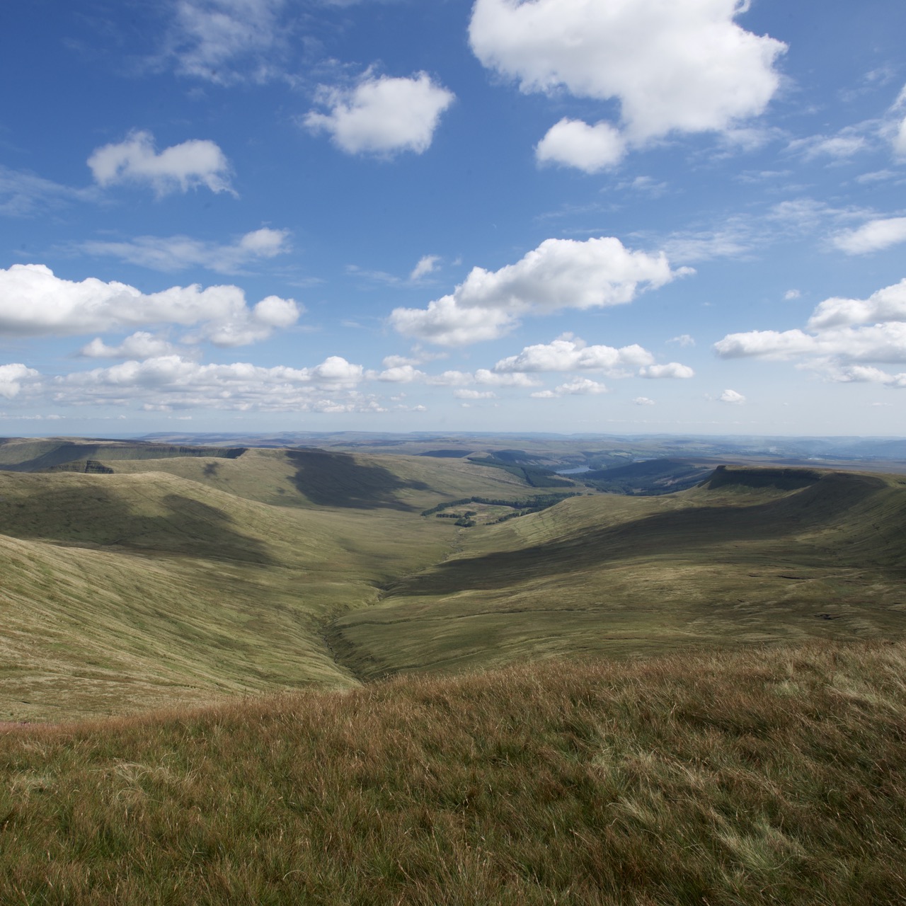
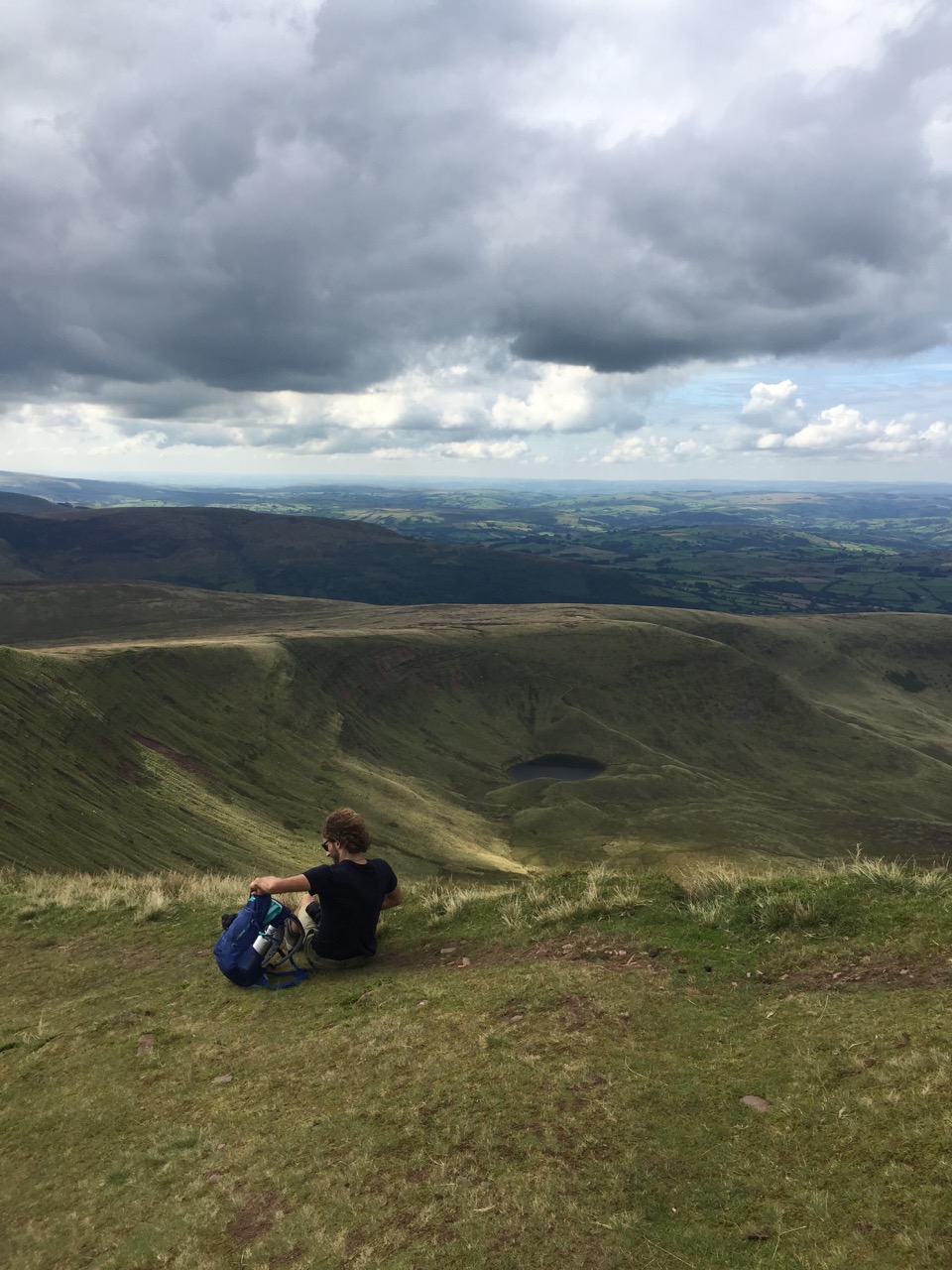
View from Corn Du looking South East-ish
Anyway, on to the hike. We were given lots of good advice from Jim's sister and fiancè. We started off with the idea of completing the Horseshoe, but the advice on the internet suggested this would take about 5 hours. As it was after midday by this point, we opted for the hike up to Pen y Fan instead.
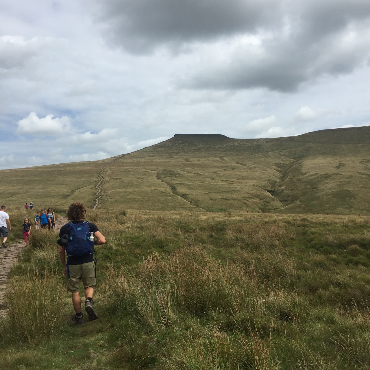
Being the Sunday of the August long weekend, (and the first sunny August long weekend in years), the parking for the hike was overflowing. Luckily, this is an unusual instance where alternative parking is plentiful (and free!). We pulled off down the road and started the hike from the Storey Arms Outdoor Education Centre.
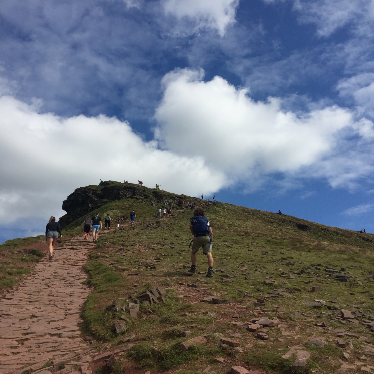
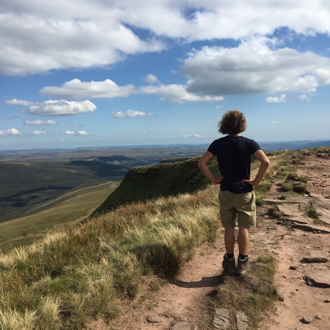
We didn't realise but this was probably the steepest of the two ways to get to the top. A relatively sharp gradient starts almost immediately before levelling off about half way up. You then dip (annoyingly) to cross the Blaen Taf Fawr (stream) to face another short rise, then it plateaus somewhat before the final push to the peak. When you get to the top you realise that this is a secondary peak (Corn Du) and the actual summit of Pen Y Fan is about another 500m (0.3 miles) across a saddle ridge.
Looking north
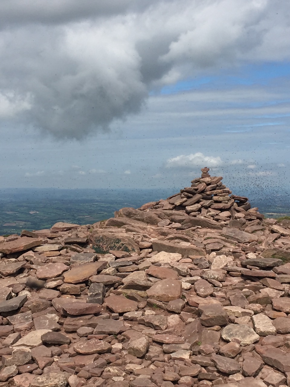
At 873 m (2,864 ft), Corn Du is only just shy of Pen Y Fan' 886 metres (2,907 ft) and therefore does not get a plaque (just a pile of rocks that was absolutely swarmed in flying ants). Pen Y Fan's big claim is that it is the highest peak in Southern Britain. I don't know where Southern Britain starts, but we found this claim quite funny what with Snowdonia's 15 mountains over 3000ft still within Wales. But I guess it is useful to some to split Britain in a north/south divide so we can still feel like we've achieved something.
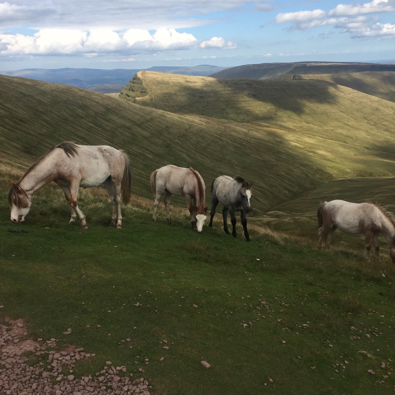
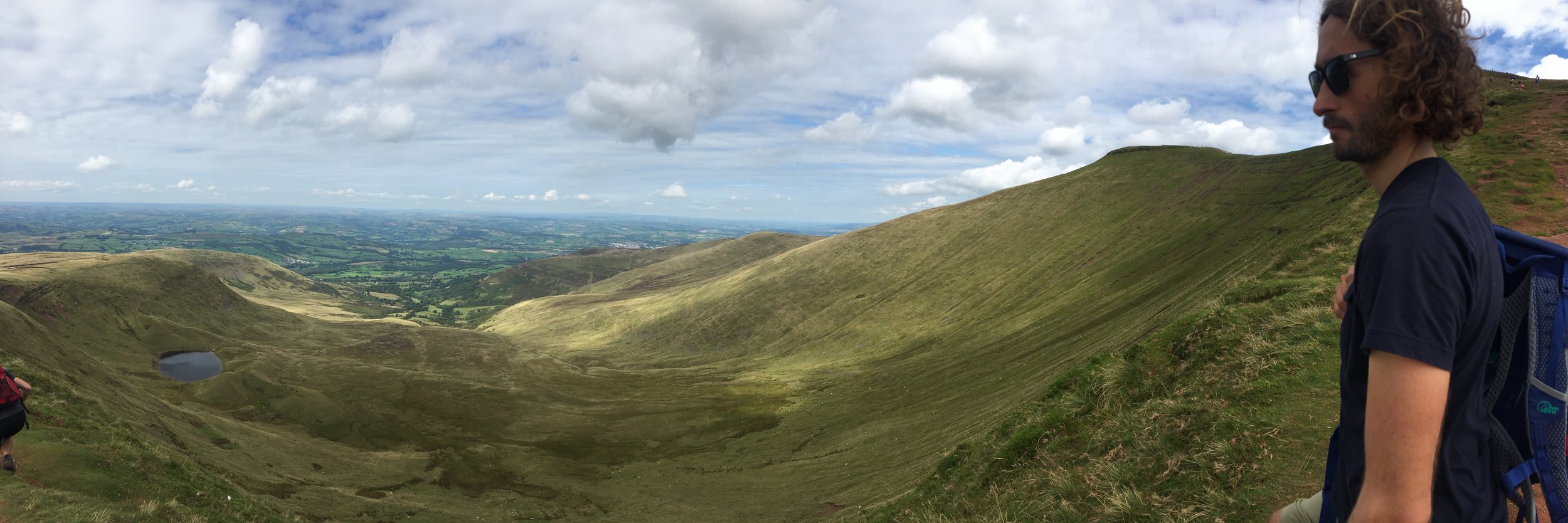
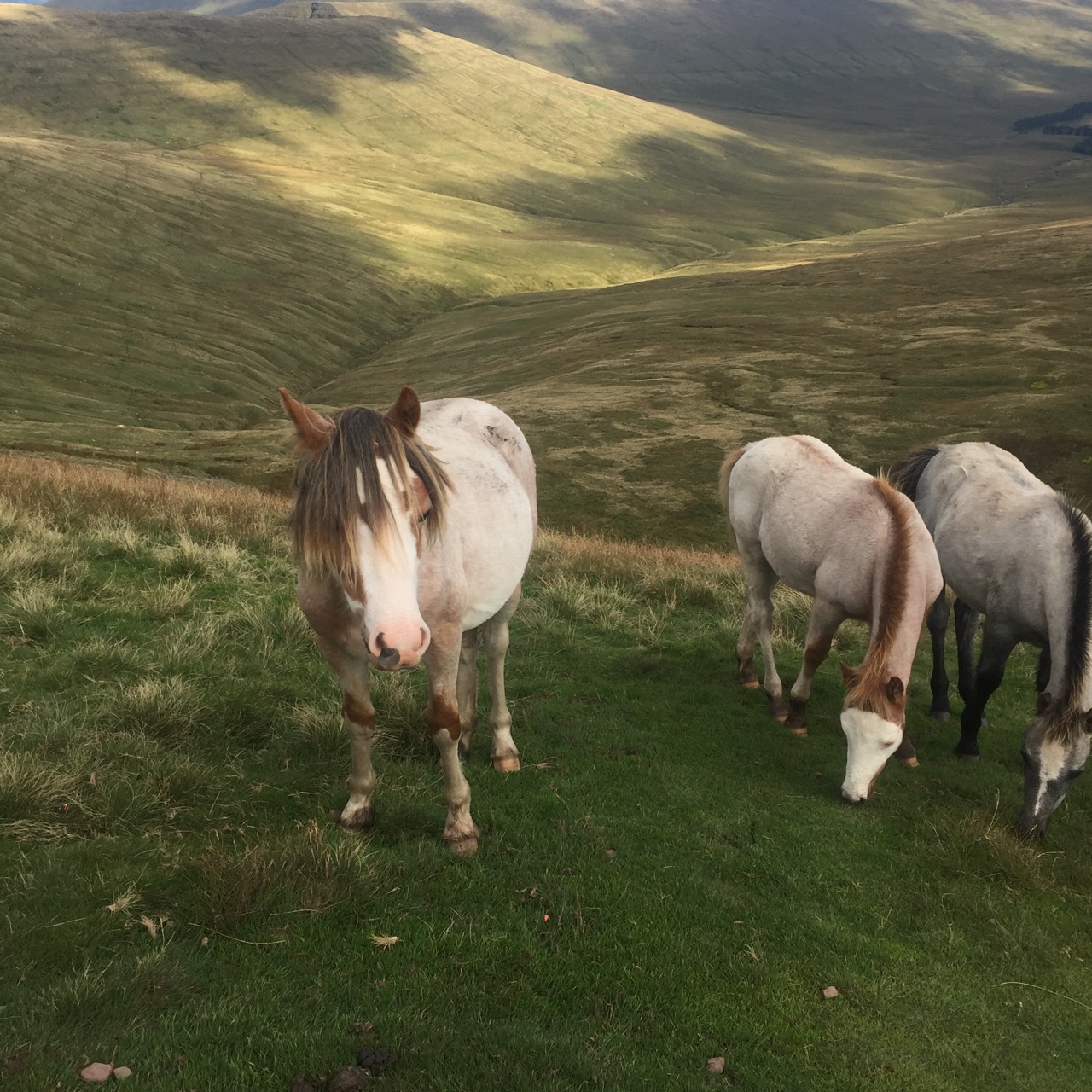
The path itself is paved with stone which makes it very accessible for families. There were in fact a lot of very young children on this hike. Dogs too (it looked like leads had to be on at all times, but I didn't check the info on that). So while it isn't the most intrepid of paths, the views from the top (on a clear day like we had) are worth it. There is enough room for you to find a little spot for yourself and take a couple of decent panoramas. The Beacons stretch out in all directions from here and the valleys between hold a number of reservoirs and lakes. Oh and there are plenty of sheep and even some Welsh ponies who join you for a picnic!
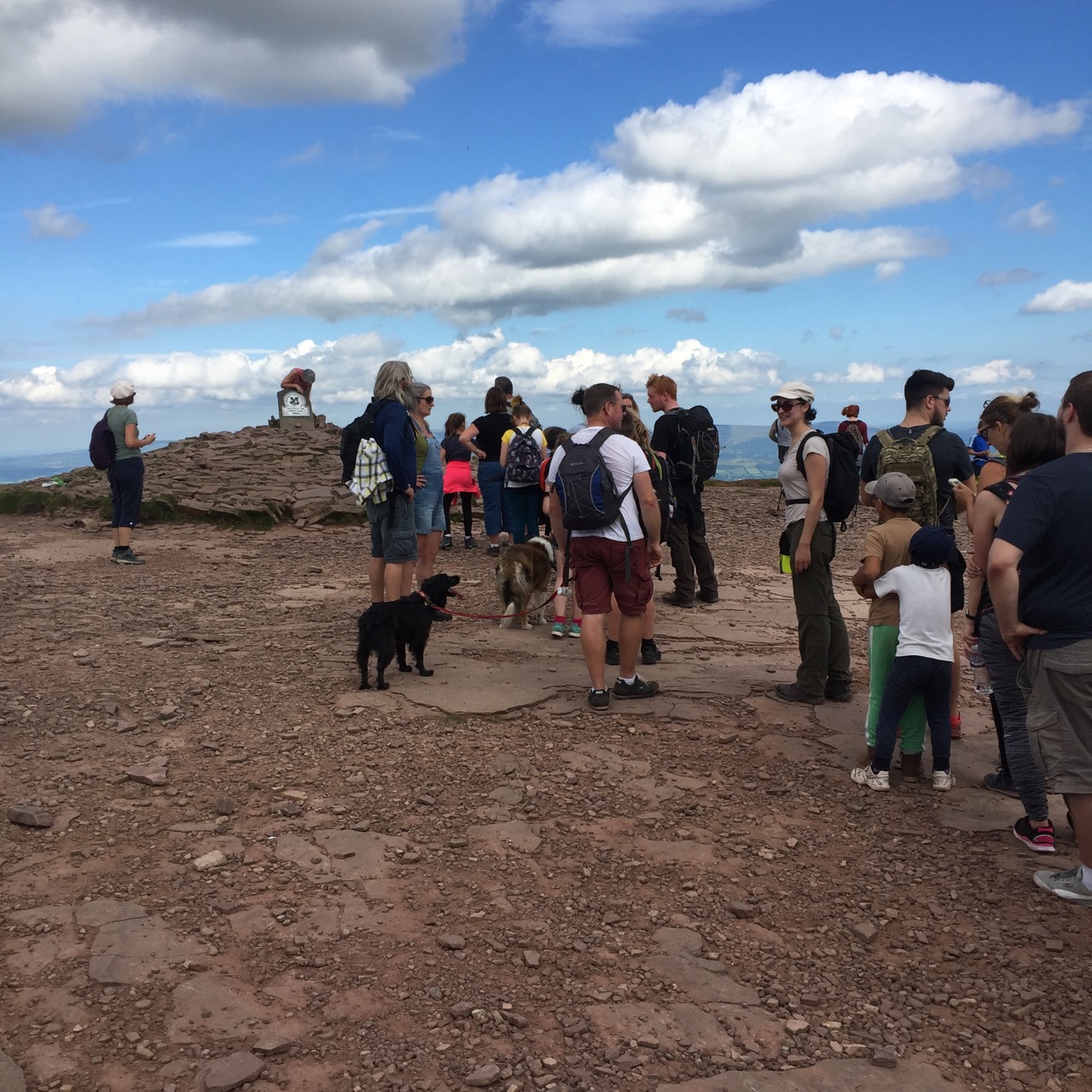
We witnessed the most English thing at the top of Pen Y Fan: there was a queue for a selfie with the plaque. I mean, you could look at those views for days, but unless you get a pic to prove to your online world that you climbed the highest mountain in Southern Britain, then I guess you haven't really done it right?! (Sarcasm implied).
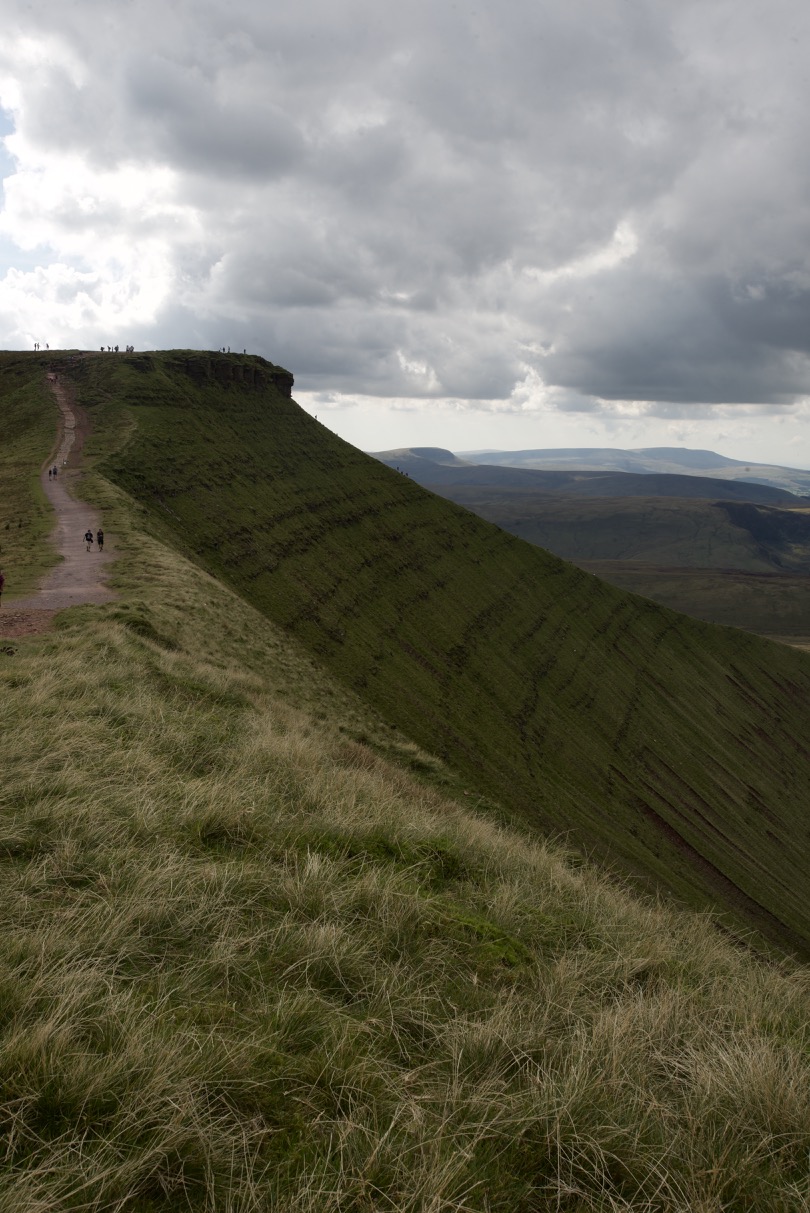
Quiet ridge just off the normal trail
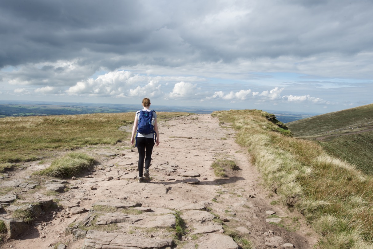
As I inferred previously, the way back down was much more steady. We returned to the Pen Y Fan car park and walked back along the A470 to the van.
A couple of stops by some reservoirs nearby on the way out of the Beacons and we were on our way home again. We decided to stop in at Ross on Wye for dinner and so glad we did as the sunset was amazing. A really worthwhile day trip to do if you are looking for a bit of outdoors.
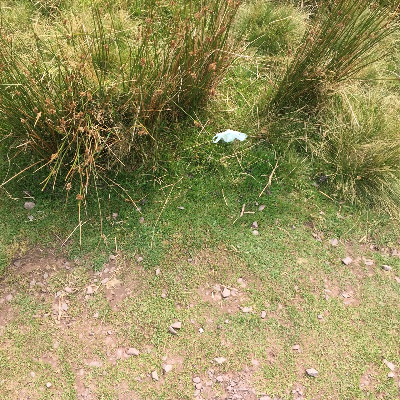
Side note: Can I please have two seconds to moan? Yes, good. Guys- I don't care if the path looks well maintained, take your damn rubbish with you! We played a game: who could guess the correct number of dog poo bags we could count lining the path. Jim came closest- he guessed 20 and there were 21. I know some of you come back for your poo, but a whole lot of you don't. It's disgusting and it detracts from the natural beauty of the place. Rant over.

