
Hiking Chamonix Part 1: To and From Plan de l'Aiguille
I would call us 'hiking enthusiasts'. We have completed a fair number of mountain treks and we are always keen for more. We aren't climbers or mountaineers. We prefer day packs (and therefore day hikes) to carrying tents and overnight gear. A good 2-6 hour loop track is the ultimate experience for us. When given unlimited and well sign-posted hiking trails in the mountains, like you get in Cham... it's pretty darn great. And free! It is literally one of my favourite experiences and you don't even have to pay for it.
I am not however, an 'exercise enthusiast'. I do it because I know I should and I probably don't do it enough. But set me on a course straight up a mountain and I will happily power to the top. I often surprise myself with my pace too. I easily keep up with Jim and actually enjoy the leg burn. We slow down for no man. The mountain air helps with my poor breathing technique (I know I'm weird- who can't breathe right?) and any stress quickly gets left behind. Unlike all other sports that I tend to overthink or blame my poor ability on lack of co-ordination, hiking simply requires you put one foot in front of the other. Even I can do that. Meanwhile, knowing that I am going to reach a certain point- whether it be the top of a mountain, the return to the start point, or simply the bus stop to get us back to town- helps keep me motivated the whole time. I don't even need a view. They help mind you, but a hike through dense forest would keep me just as entertained.
Anyway, Chamonix, sitting in the valley between the Mont Blanc massif and the Aiguille Rouges, is the start of countless number of hikes. As we only had five days (two of which were travel days) and the Brevent lifts were closed, we thought ticking off the main attraction of the area (viewing Mt Blanc from the top of Aiguille du Midi) mixed in with a hike was a great plan. So here is what we did:
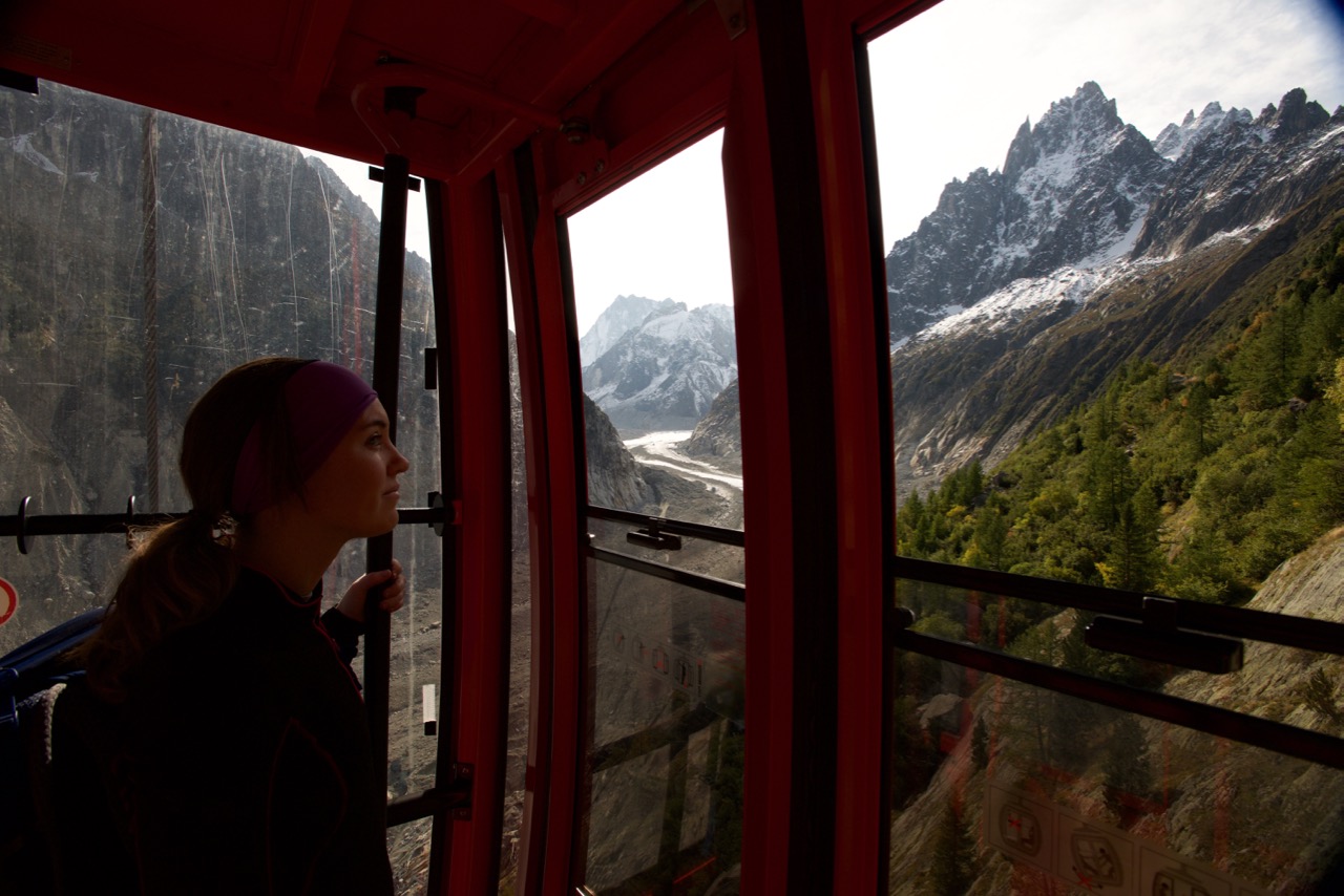
Mer de Glace to Aiguille du Midi mid station (Plan de l'Aiguille).
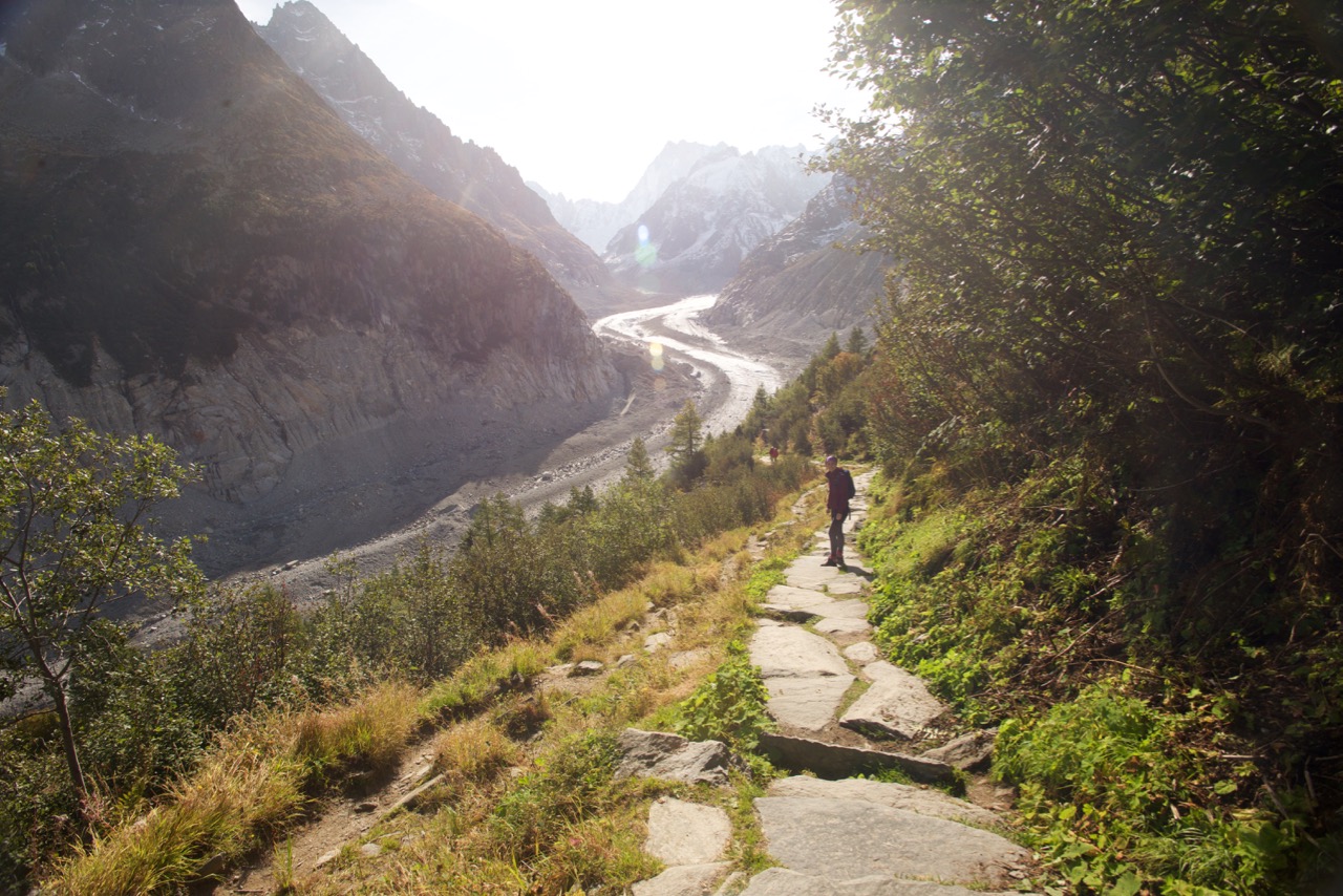
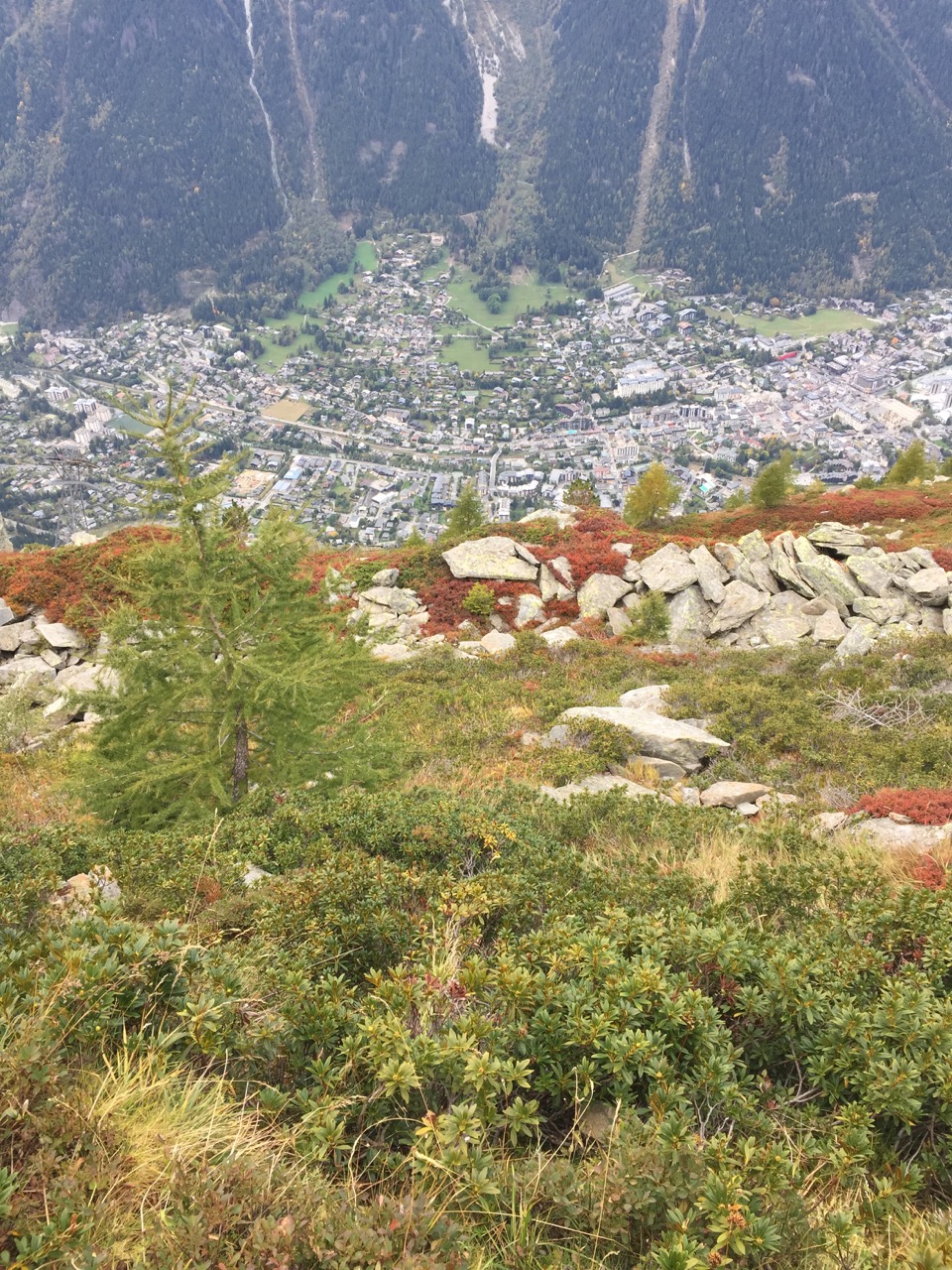
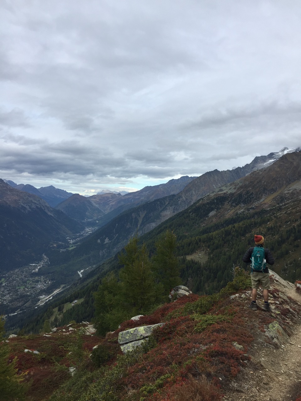
We caught the Train Montveners to Mer de Glace from Chamonix and spent time viewing Mer de Glace from the station. We walked down to the bottom of the cable car but decided not to go any further as we wanted to start the hike. Considering how good their signs usually are, we were confused about where the traverse began. You have to go back under the railway and continue past all the buildings. Don't start a steep uphill climb on an overgrown path unless you are after a different walk. (It took us a few moments to realise this). Doing the path this way means you are going up hill for the most part, but it also means that you get a spectacular view as you come out of the forest and into the shrubby heath. Aiguille du Midi and Mt Blanc are right there in front of you. The most annoying part is as you approach the mid station- you think you are there and then you round the mountain to be presented with a last minute climb. From this point you can go up to the top of the Aiguille du Midi.
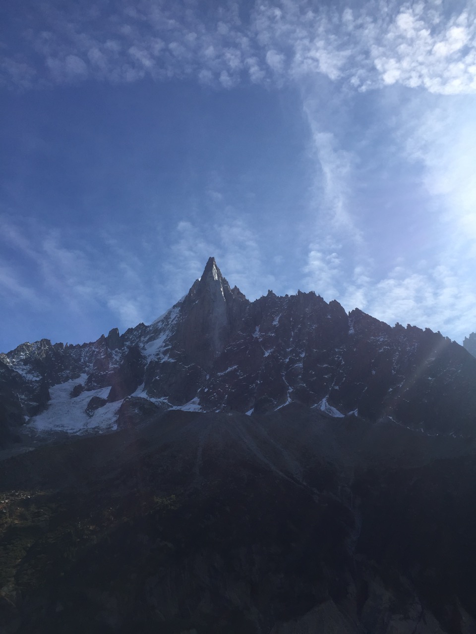
Jagged mountains

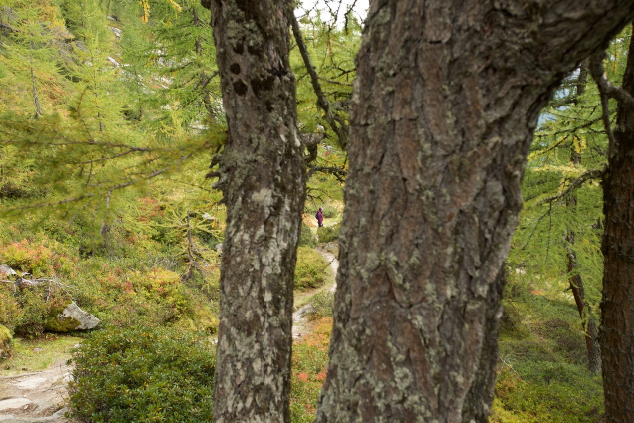
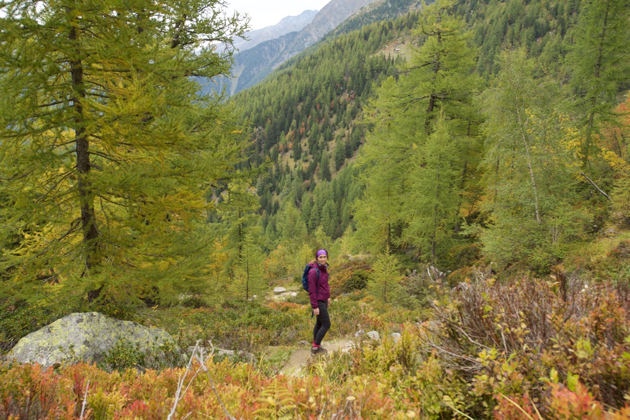
The traverse from Mer de glace

View down to chamonix
Info:
It took us about 2 hours to hike including photo stops.
Roughly 300m ascent over 7.5ks.
You can do it in reverse if you want to go downhill and then continue down to Chamonix quite easily from Mer de Glace.
There is another starting point we weren't aware of- via Signal Forbes. I think this one involved more of an ascent, but if you are doing the path in the opposite direction, this route is recommended for the view.
The path that we did had very steep drop offs to the right and could be dangerous if icy or you have an issue with heights.
Hot tip: Purchase your train/ lift pass from the Montveners Station and say that you are after a ticket to go up in the train and down from the mid station. This = €31.50. Then at the mid station, get a ticket to the top = €28. Total = €59.50. The unlimited pass which gets the 2 lifts and the train return = €63. That's a cup of chocolat chaud right there! (Haha) Lift prices change all the time though so best to check.
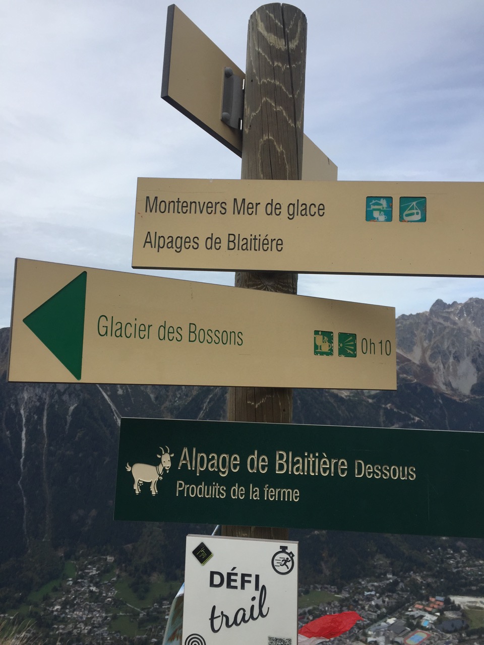
France does a good sign

Aiguille du midi cable

obligatory shot from the top
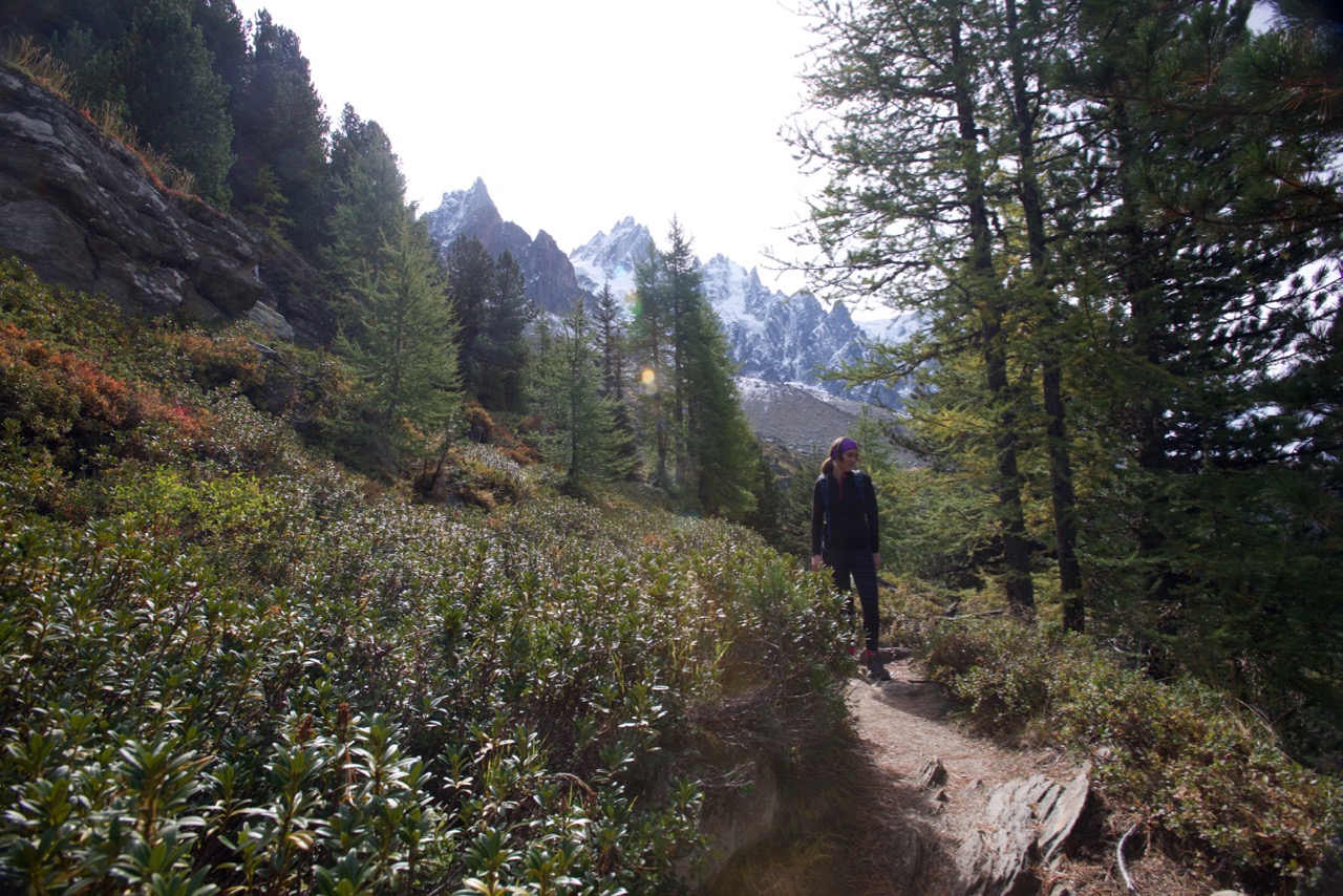
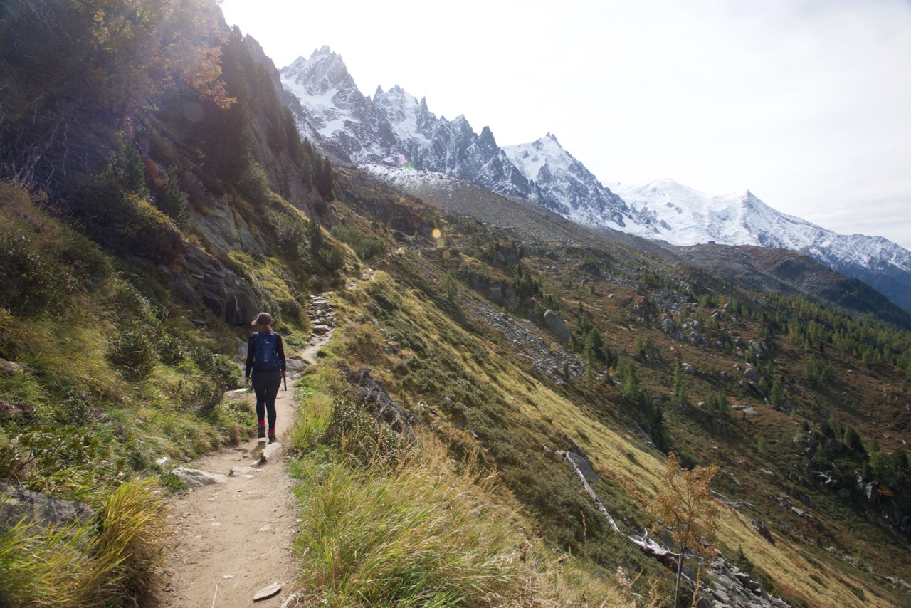
Plan de l'Aiguille to Chamonix
So after we thought we had struck a bargain (albeit small) with the lifts, we decided to hike down instead. After a quick trip to the top of Aiguille du Midi, a 15 minute walk over to Lac Bleu (worth doing!) for a picnic lunch, we decided we had enough time to get down the mountain and were still happy to be hiking.
There are two ways down which separate at the Refuge du Plan de l'Aiguille. The path to the left had some red tape around it which we took to mean closed (we later found out that there was construction near the bottom) so we went right. This took us further down the part of the mountain we had just traversed, but the change in scenery was dramatic. Lots of steep, zig-zagging descents and beautiful autumn colours. Being able to see the town below you does not do you any favours though- it always looks closer than it is! You pop out right near the train station. We had a well deserved glass of wine in town just as it started to rain.
Info:
About 2 hours again
Descent is over 1000m so make sure you don't have joint problems for this one
If you hear a loud grunt/moan that is kinda like a cow mooing crossed with a deer mating... Don't ask me what that is. We came close to it but it coulda been anything!
See Part 2 for our excursion to the Emosson Dam and a hike to Col de Voza from Les Houches!
Have you done this hike? What did you think of it? Comment below!

